TrackThat’s FMS Planning & Navigation is a suite of programs — PlanThat, FlyThat, and CheckThat — that takes you from defining your flight area all the way to verified, high-quality data.
These tools help you plan precise flight lines, execute the mission, and check the collected data for consistency and correctness — so you can build an accurate model of the area with confidence.
From area definition to verified data — a four-step workflow that keeps every mission on track.
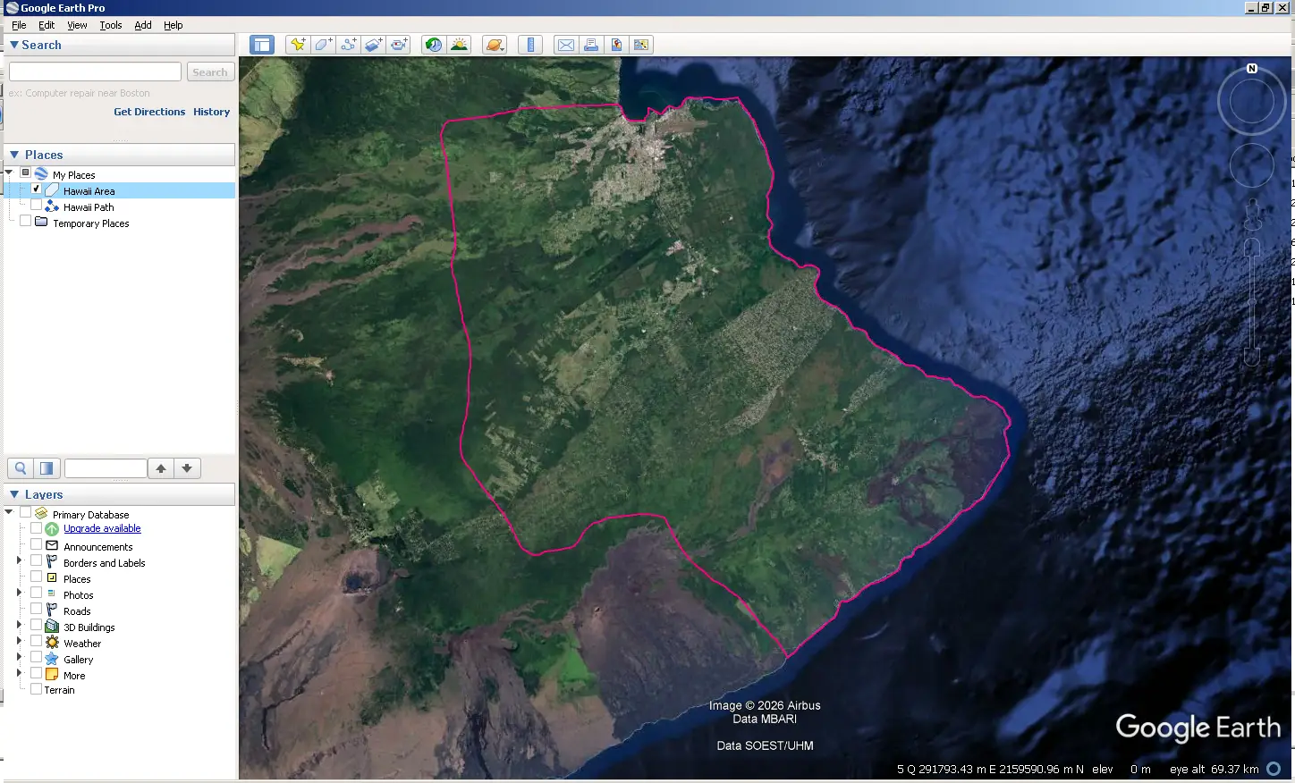
Define your flight area and project parameters. PlanThat generates optimized flight lines based on your sensor requirements, terrain, and desired data quality.
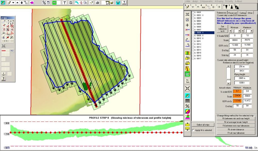
Examine terrain elevation and topography data to refine your flight plan and ensure complete coverage with minimal overlap.
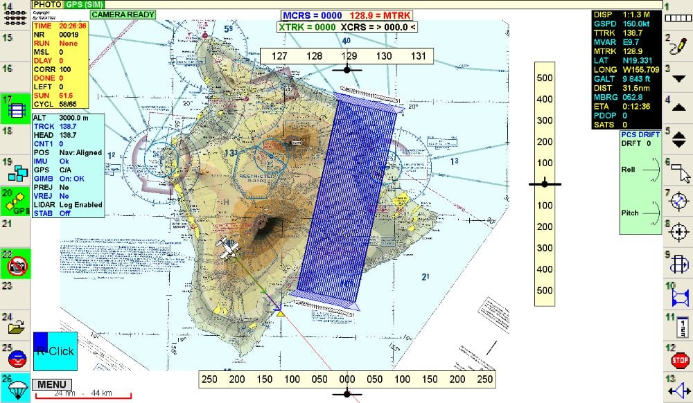
Review flight paths and mission parameters in a clear visual interface before takeoff.
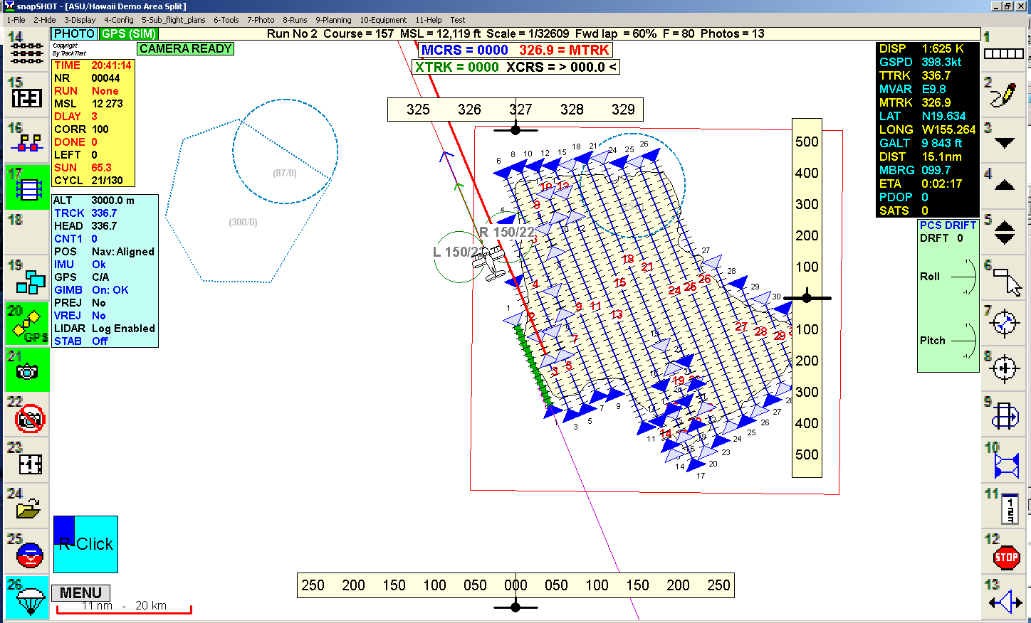
Fly the optimized lines with precision. FlyThat manages real-time navigation and sensor triggering while CheckThat helps verify data quality immediately after landing.
Optimized flight paths minimize unnecessary distance and fuel consumption, reducing operational costs.
Precise flight line planning ensures complete coverage with minimal overlap and consistent data quality.
High-quality data collected during flight reduces the time and effort needed for post-processing and verification.
Works seamlessly with TrackThat Sensor Integration and ARIS hardware for a complete end-to-end solution.
Contact us to learn how PlanThat, FlyThat, and CheckThat can improve your workflow.
Contact Us